What we do
Research
Advancing ecological understanding and informing conservation through independent and collaborative research.
Carnassial conducts research focused on wildlife ecology, conservation, and natural resource management. Our work ranges from independent studies to collaborative investigations designed to address questions in species conservation, habitat connectivity, transportation ecology, population monitoring, and landscape-scale management. We partner with universities, governmental agencies, conservation organizations, environmental firms, and multidisciplinary research teams to generate knowledge that contributes to both the scientific literature and applied conservation practice.
Technical & Scientific Services
Applying ecological science to conservation, management, planning, and decision-making.
Wildlife and natural resource projects often require specialized expertise at critical stages. Carnassial supports clients through study design, field methods development, monitoring programs, quantitative analysis, geospatial modeling, scientific review, and ecological data interpretation. Our role is to provide the technical foundation needed to inform management actions, conservation planning, regulatory processes, and project implementation.
Subject Matter Expertise & Advisory
Providing independent scientific guidance, technical review, and expert support.
Carnassial provides independent scientific guidance to clients and partners facing complex conservation and management challenges. This work may include technical review, conservation strategy development, expert consultation, participation on scientific panels, or contributions to collaborative initiatives and recovery efforts. We bring an objective, science-based perspective to questions requiring specialized ecological knowledge and experience.
WHERE WE WORK
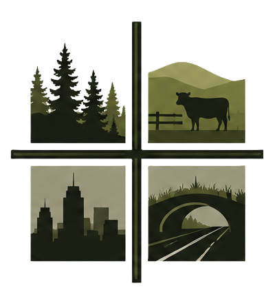
WILDLANDS
Protected areas, public lands, intact habitat systems, and ecosystem conservation.
WORKING LANDSCAPES
Ranches, farms, forests, private lands, and other landscapes managed for both economic and ecological objectives.
TRANSPORTATION NETWORKS
Habitat linkages, highway mitigation efforts, wildlife crossings structures, and linear corridor projects
URBAN ENVIRONMENTS
Rural to urban gradients, commercial development, small livestock operations, green infrastructure, and management and conservation in developed landscapes.
Representative applications
Wildlife Ecology, Management & Monitoring
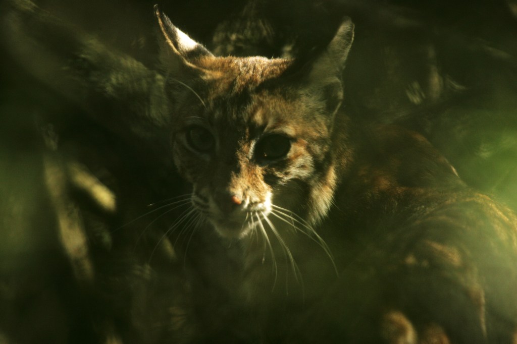
Management decisions often depend on knowing how many animals are present, where they occur, and how populations change through time. Answering those questions requires matching study design, sampling methods, and analytical approaches to both the ecological question and the species being studied. Carnassial works with clients to develop studies and monitoring programs for clients that generate reliable information for inform conservation planning, management, and regulatory decision-making. Our work spans population assessment, habitat relationships, species interactions, movement ecology, and long-term monitoring across a range of taxa and landscapes..
Representative Capabilities
- Small to large scale camera trap monitoring
- Monitoring framework development and evaluation
- Occupancy and density estimation
- Species interaction and co-occurrence analyses
- Resource selection and movement analyses
- Population viability and demographic modeling
Conservation & Species Recovery
Current Work
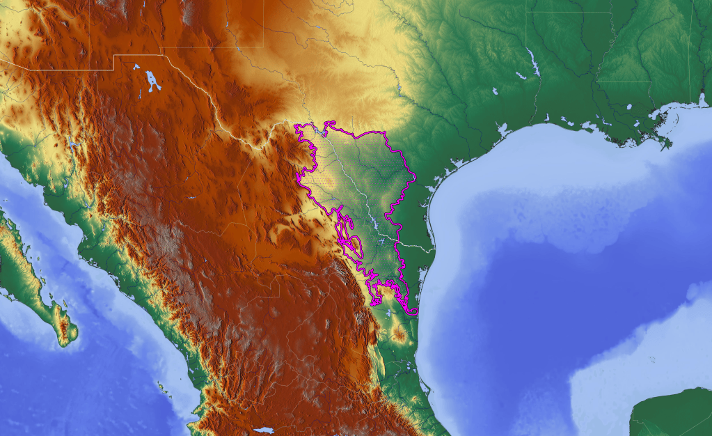
Recover Texas Ocelots Reintroduction Project- Research Partner Species Recovery Planning and Monitoring in California
Recovering threatened, endangered, rare, declining, or isolated populations requires an understanding of population viability, habitat suitability, connectivity, and the factors limiting persistence across landscapes. Carnassial supports species recovery and conservation planning through the integration of field data, ecological modeling, and quantitative analyses that inform management decisions. Our work helps identify conservation opportunities, evaluate recovery strategies, and provide the scientific foundation for informed planning and decision-making.
Representative Applications
- Species distribution & habitat suitability modeling
- Reintroduction planning and supporting regulatory documents
- Species status assessments
- Monitoring of recovering or endangered populations
- Conservation planning on private and public lands
Landscape Ecology, Geospatial Analysis & Remote Sensing
Current Work
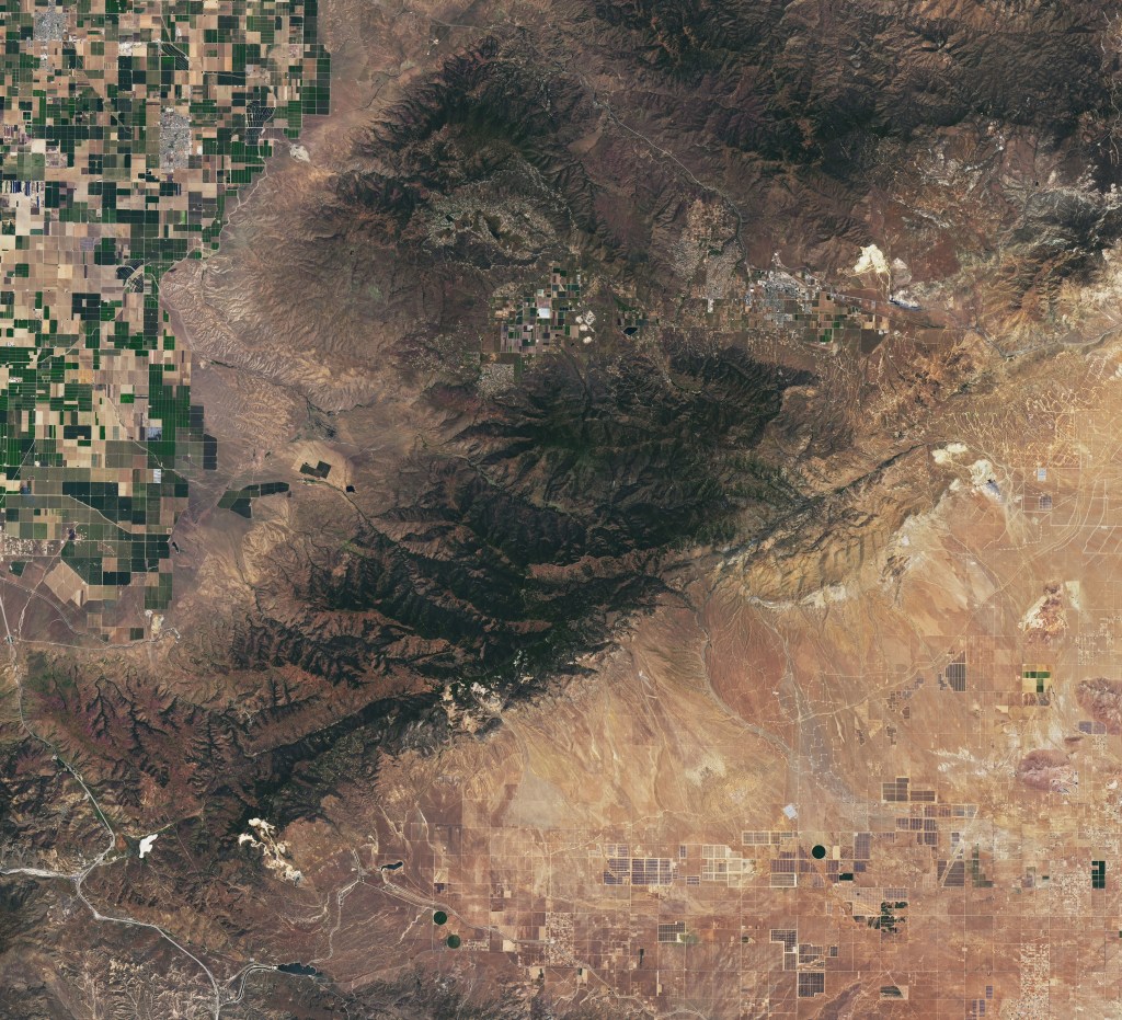
Landscape and habitat modeling for carnivore conservation
Landscape patterns influence how wildlife populations persist, move, and respond to environmental change. Carnassial uses geospatial analyses, GIS, remote sensing, and spatial modeling to evaluate habitat conditions, landscape structure, connectivity, and ecological processes across broad spatial scales. Our work supports conservation planning, species recovery, natural resource management, environmental review, and infrastructure planning by translating complex spatial data into practical information for decision-makers.
Representative Capabilities
- GIS analysis and cartographic products
- Habitat suitability and species distribution modeling
- Landscape connectivity and corridor assessments
- Land cover mapping and change detection
- LiDAR-derived vegetation and habitat structure analyses
- Spatial statistics and predictive modeling
- Remote sensing and geospatial data integration
- Conservation prioritization and decision-support mapping
- Climate vulnerability and landscape forecasting
Landscape Connectivity & Transportation Ecology
Current Work
- Ocelot road crossing patterns in Southern Texas
- Road effect zone analyses in Southern Texas
- Wildlife Connectivity Working Groups in California
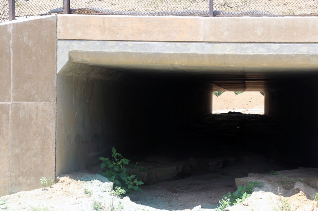
Roads and transportation corridors influence wildlife populations at multiple scales, affecting movement, habitat use, gene flow and population persistence. Beyond vehicle collisions, different factors can determine whether animals approach, cross, or avoid transportation corridors. Carnassial provides expertise in transportation ecology, wildlife connectivity, and mitigation planning informed by research conducted across California, Texas, and the eastern United States. We help clients build robust wildlife-transportation projects and proposals for monitoring efforts and wildlife crossing placement. We provide valuable support through project planning, technical review, monitoring, and evaluation of connectivity and mitigation efforts in accordance to state and national connectivity acts and efforts.
Representative Capabilities
- Camera trap and non-invasive monitoring of proposed and active wildlife crossing structures
- Wildlife crossing structure planning, evaluation, and effectiveness
- Room to Roam Act implementation and connectivity planning
- Roadkill survey design
- Wildlife movement and connectivity modeling
- Technical support for wildlife connectivity initiatives and working groups
- Regional and landscape-scale connectivity planning
Human-Wildlife Interactions

As human development and land use continue to expand, wildlife increasingly occupies these landscapes, elevating potential positive and negative interactions. Understanding how species respond to human activities is often central to reducing conflict, maintaining habitat functionality, and supporting long-term management objectives. We provide expertise to examine ecological and behavioral responses of wildlife to human activities, land-use change, and other forms of disturbance to identify management approaches that support both conservation and coexistence. Carnassial also provides technical guidance on human-wildlife conflict prevention and mitigation. This includes site assessments, evaluation of deterrent measures, attractant management recommendations, and science-based strategies to reduce conflict while maintaining viable wildlife populations.
Representative Capabilities
- Human-wildlife conflict assessments
- Large carnivore coexistence planning
- Site-specific carnivore conflict mitigation recommendations
- Evaluation of deterrent and non-lethal management strategies
- Wildlife responses to development and land-use change
- Conservation planning in working and developed landscapesOutreach and education supporting wildlife coexistence
Discuss a project
If your project needs one of these areas, or a combination of them, describe the question and the stage you are at.

